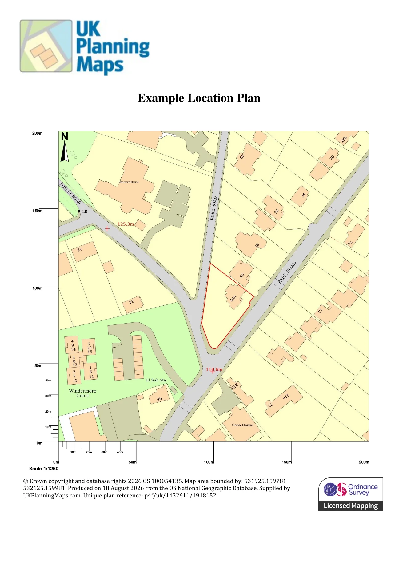
1:1,250
Free, evidence-checked planning-map guidance
Straightforward answers on the maps you need for a UK planning application—what they show, which scale to use and how to get one.
Planning Maps UK is published by Copla Ltd, which also operates UKPlanningMaps.com ↗.
Start with the right plan
Planning language can make a simple task sound complicated. In most cases, a location plan shows where the site is and a block or site plan shows what is changing.
Find the site
Planning essential
Show the detail
Also called a block plan
At a glance
The names are often mixed up. This is the simplest way to tell them apart.
Real UKPlanningMaps examples
Compare the wider context of a location plan with the closer detail of a block plan. Each complete example includes its scale, north arrow and licensed-mapping information.
1:1,250
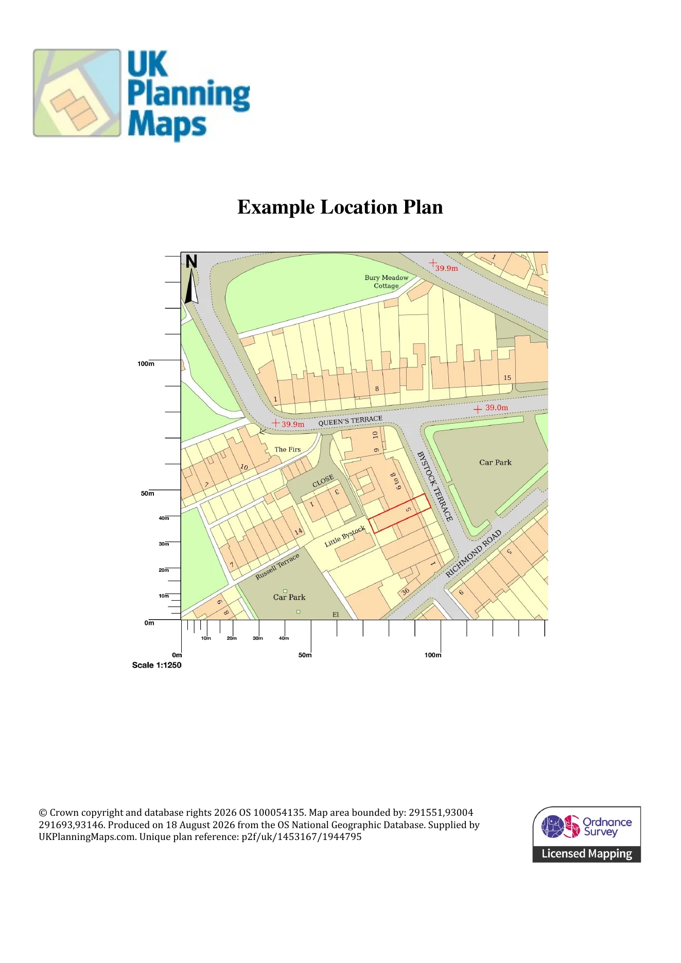
1:1,250
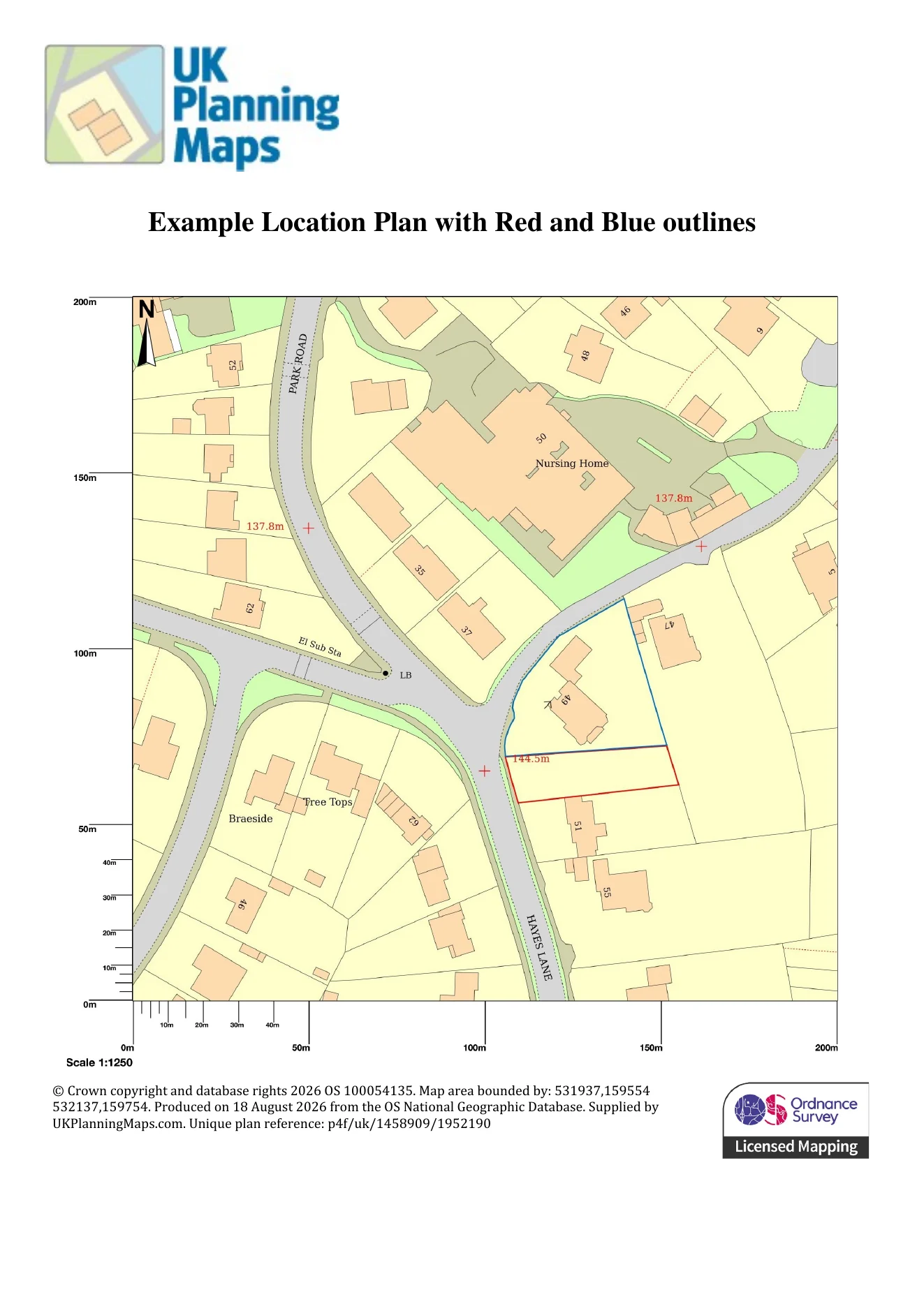
1:1,250
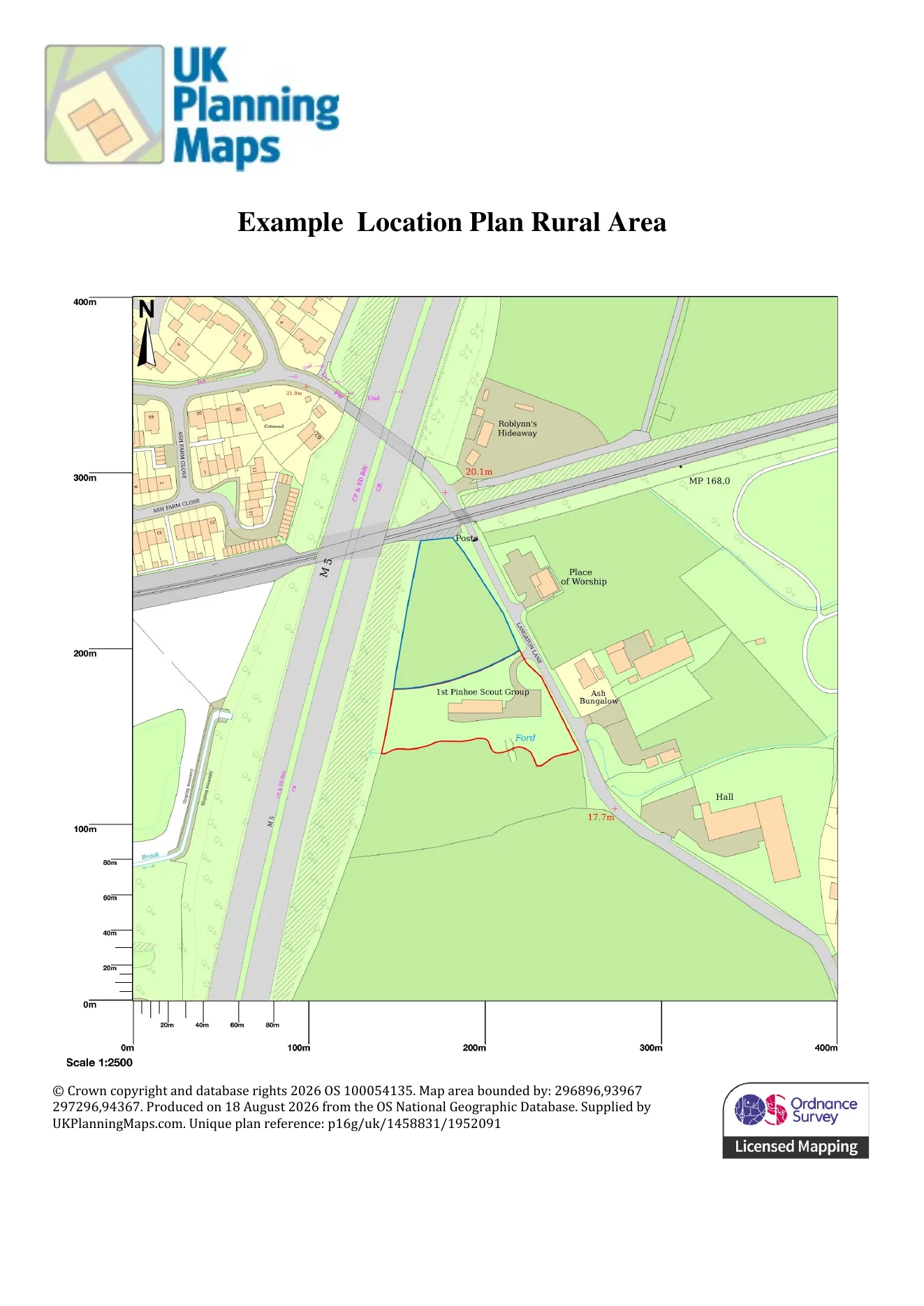
1:2,500
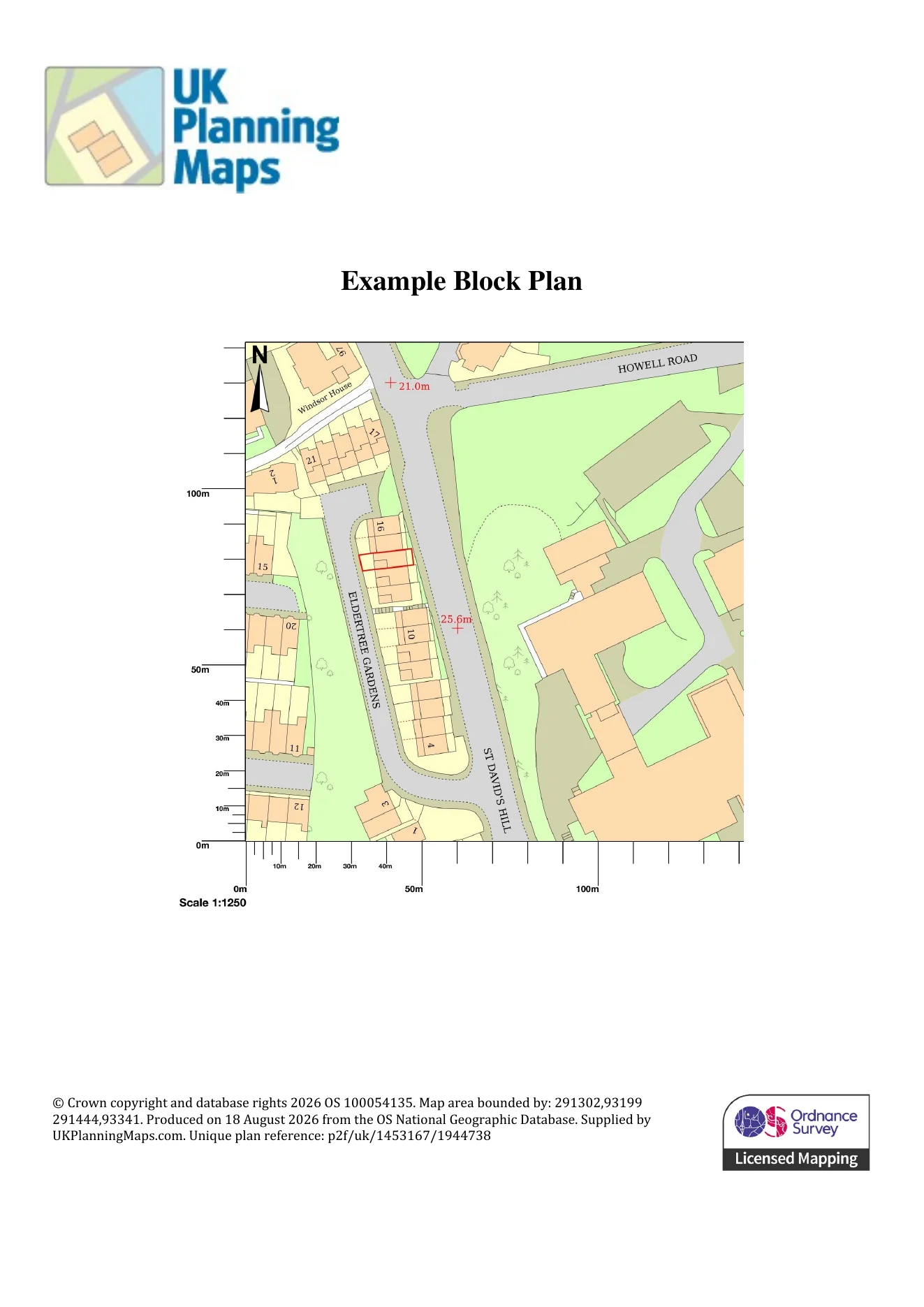
1:1,250
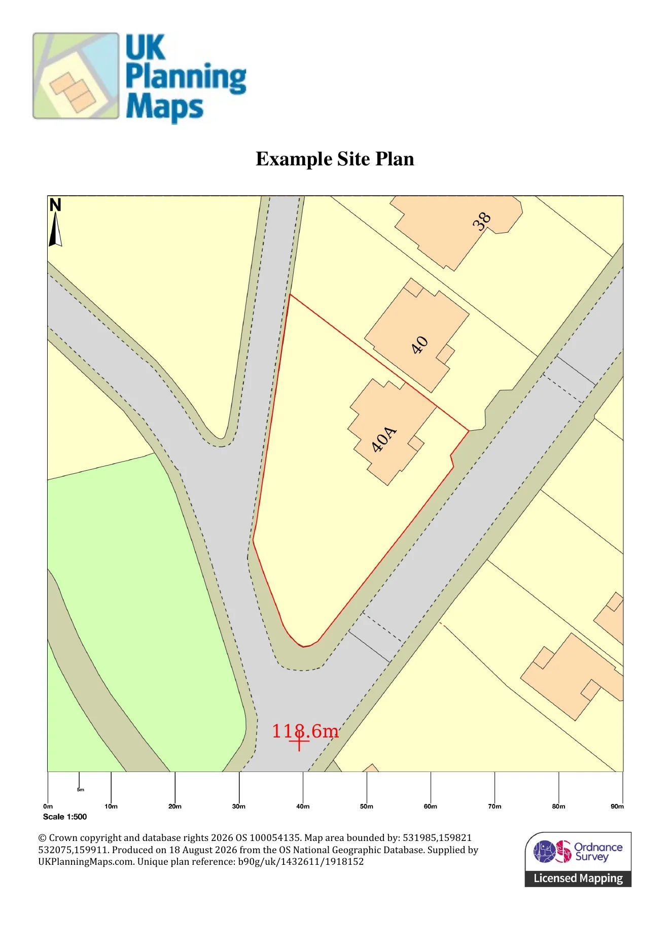
1:500
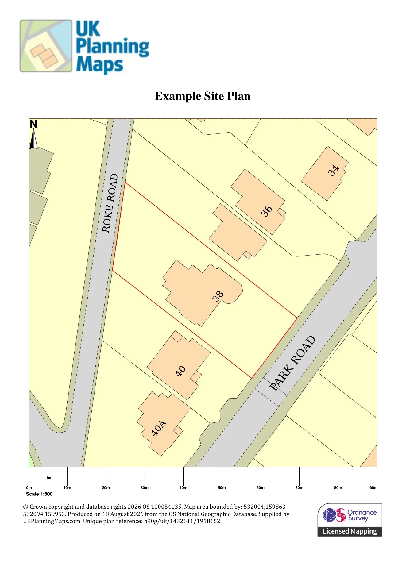
1:500
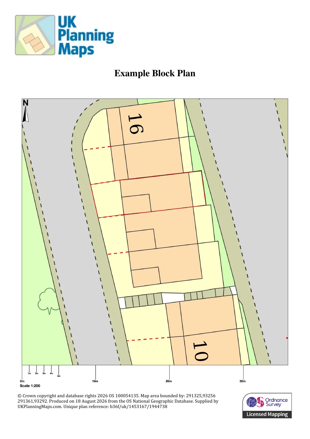
1:200
Examples are illustrative. Check the plan type, scale and information required by your planning authority.
Produced by UKPlanningMaps.com using Ordnance Survey mapping. © Crown copyright and database rights 2026 OS 100054135.
Create your planning map ↗Planning map knowledge centre
Explore focused guides on scales, boundaries, Planning Portal uploads, file formats and common project types.
Plain-English answers
Quick answers first, with links to the fuller guides when you need more detail.
Start with an up-to-date Ordnance Survey map. Choose the correct scale, centre the site, add a north arrow and scale bar, then draw a red line around all land needed for the proposal and a blue line around any other nearby land you own. The easiest route is to create and download a correctly licensed plan online.
Read the step-by-step location plan guide →Location-plan prices depend on the map coverage, scale, paper size, file format and whether the order needs bespoke preparation. Check the current UKPlanningMaps.com price list before ordering.
See current prices and available formats ↗You can buy a planning-ready location plan online from UKPlanningMaps.com. Search by postcode or address, select the site, add the boundary and download the plan straight away.
A location plan is the zoomed-out view that identifies where the site is, normally at 1:1,250 or 1:2,500. A block plan is the closer view, normally at 1:200 or 1:500, showing the site layout and the proposed development in more detail.
You may be able to view free online mapping, but free screenshots are not usually licensed or prepared to planning standards. A planning application normally needs an accurate, to-scale, correctly licensed plan. You can preview Ordnance Survey MasterMap data free before buying at UKPlanningMaps.com.
Search for the property by postcode or address, choose a block or site plan scale, select the area, add your boundary and notes, then download the finished plan. A typical planning site plan is at 1:200 or 1:500.
Planning application checklist
A good plan makes the site easy to identify and gives the council the information it needs to validate the map.
Create your planning map at UKPlanningMaps.com ↗Know which map you need?